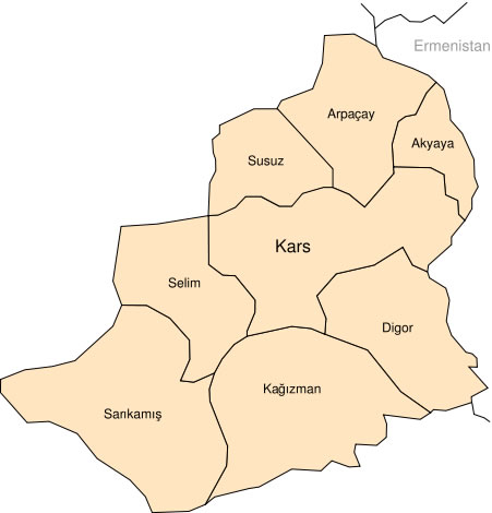
Kars Plan : Kars city center, city, neighborhood, street, street maps, satellite, sketches, mixed and land images below on the map interactive as you can navigate. Kars regional highways maps, leaflets, road situations, transportation, lodging, guide, geographical, physical information can be found with this interactive map. Kars Plan with all city, county, city, neighborhood, street, streets, schools, high schools, universities, home, Ismerkezi, mosques, churches, synagogues, museums, palaces, highways, main roads, airport, factories, shopping centers, business centers and major maps, satellite and map images much easier to find the address and directions.
Kars Plan on the upper left (+) beside zoom in and (-) sign to zoom out via the links you can visit. Kars Plan move the mouse over it via (left click) and clicking the image you can drag. Right upper Map, Satellite, Hybrid and Land icons via the map view, satellite, hybrid and mixed land can switch between images. If you would like to find country, city, county, district or region after writing the name click on Search button on the lower right corner of map the search area. With this Kars Plan you can view regions, towns and districts maps. Please report Kars Plan mistakes us. With search map tool, write down at least one letter of desired map name then click on search map map.